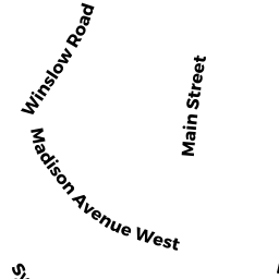
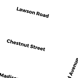
8 CHESTNUT ST
Owner Information
RANOUX CLAUDE J
8 CHESTNUT ST
WINCHESTER, MA 01890


Property Details
8 CHESTNUT ST is classified as a Single Family Residential (Colonial).
The primary structure on this property was built in 1850. There are 2,966ft2 of built area within this property. There is 2,966ft2 of residential/living space within this property. This property is listed as having 7 rooms.
8 CHESTNUT ST is valued at $1,333,300. The land is valued at $917,100 and the structures are valued at $412,800. There is an additional valuation of $3,400 on this property.
This property is in Zone RDB. Confirm with local Zoning Board authorities to ensure there are no overlays or other easements on this property.
8 CHESTNUT ST was last sold on Tuesday, July 10, 2012 for $0.
Assessment data from fiscal year 2021.
Flood Data
According to the FEMA National Flood Hazard Layer, this property does not appear to be in a flood zone. It may also be in an area not yet reviewed. Nonetheless, confirm this information prior to taking any action.
To view the flood hazards around this property, create a FEMA "Firmette" Map of the area around 8 CHESTNUT ST.
Broadband Internet Providers
| Provider | Type | Bandwidth (mbps) | |
|---|---|---|---|
| Verizon New England Inc. | Fiber | 940 | 880 |
| VSAT Systems, LLC. | Satellite | 2 | 1 |
| HughesNet | Satellite | 25 | 3 |
| Viasat Inc | Satellite | 100 | 3 |
| Comcast | Cable | 1000 | 35 |
| Verizon New England Inc. | DSL | 7 | 0 |
| GCI Communication Corp. | Satellite | 0 | 0 |
Broadband service provider data from December 2020.
Adjacent Properties
- 12 CHESTNUT ST
Single Family Residential owned by TULLY BARBARA K REV INTER VIVOS FAM - 6 CHESTNUT ST
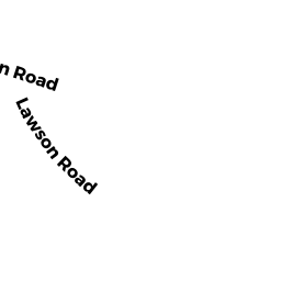
Single Family Residential owned by KEATING GERARD K & LAURA A - 15 LAWSON RD
Single Family Residential owned by COSGROVE KAREN ROCHE - 11 LAWSON RD
Single Family Residential owned by DUCHARME EDWARD ET AL LIV TR